

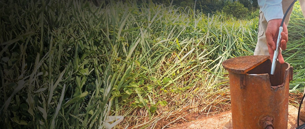


Challenge
-
The government has provided clear guidance on the importance of constructing groundwater monitoring wells as part of a strategy for sustainable water resource management. This step is necessary to address the challenge of increasing demand for clean water. With the presence of monitoring wells, the government can effectively monitor the availability, quality, and sustainability of groundwater.
-
Rapid developments in the Jabodetabek area, especially in the construction sector, have triggered a drastic increase in the demand for clean water. However, the supply of clean water from the PAM (Public Water Utility) is still insufficient. This has the potential to adversely affect the overall quality and quantity of groundwater. The Water Conservation Agency (BKAT) has taken steps to monitor the quality and quantity of groundwater in the Jakarta Groundwater Basin. The construction of Telemetric Monitoring Wells serves as a solution to monitor groundwater conditions in real-time.


Automatic Groundwater Level Recorder (AGLR)
Definition
An Automatic Groundwater Level Recorder (AGLR) is a device that is useful for water resource management. With this device, we can closely monitor groundwater levels and flow conditions without having to visit the site.
Legal Basis:
-
Government Regulation of the Republic of Indonesia Number 43 of 2008 concerning Groundwater see details
-
Presidential Regulation of the Republic of Indonesia Number 37 of 2023 concerning National Policies on Water Resources see details
Automatic Groundwater Level Recorder (AGLR)
Details
-
Mertani data logger
-
Power unit
-
Data Communication (2G, 4G, LTE, GSM, LoRa, Satellite Communication (Starlink), Bluetooth, dan WiFi)
-
Panel box
-
Wiring system
-
GPS
*RTU installation can be adjusted to field conditions

Automatic Groundwater Level Recorder (AGLR)
Features and Benefits
-
Uses an imported GE pressure cell with an accuracy of up to 0.5% F.S.
-
316SS stainless steel body construction with a 316L diaphragm for impact and corrosion resistance
-
Supports a level measurement range of up to 500 m
-
Slim design with a body diameter of Ø19 mm
-
Equipped with IP68 waterproof protection and a hermetically sealed construction
-
Lightning protection options are available, as well as a choice of PU, PE, or FEP cable lengths to suit your needs


Software System
Specifications:
-
Harvest data from the field
-
Realtime monitoring (chart, raw data, and downoad data)
-
Get Quic notifications of real-time data
-
Sensor and device management
-
Daily, monthly, and annual data report
-
Device Location tracking (GPS)
-
Notification Early Warning System
.png)
.png)
.png)
.png)


